HISTORICAL STUDIES
Spatial development plans of Tripolitania – Libya
In the 1980s, spatial development plans for 4 regions of Libya (Tripolitania, Benghazi, Al. Khalij and Fezzan) were drawn up. They were prepared by teams of specialists from Poland, Greece, Germany and Finland.
The spatial development plans were complex. They tackled spatial (specifically – urban planning, communication and engineering) as well as social, economic and ecological issues.
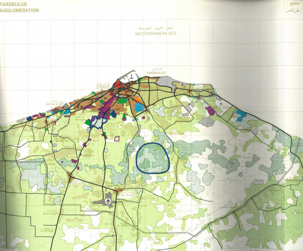
BPRW was the general contractor of the spatial development plans for Tripolitania which was the most densely populated and economically developed region of Libya.
Planning works were carried out in Libya (WADECO) and Poland (BPRW).
Many specialists from BPRW as well as other spatial planning offices from all over Poland participated in this enterprise.
The planning works were of a multi-scale nature – from the regional plan through master plans of the cities and lay-out plans for settlements and rural areas to implementation maps in the 1: 1000 scale.
The works included:
- Prospective spatial development plan for Tripolitania – covering an area of 225,000 km2 (with a prospective number of residents of 3.7 million),
- Prospective spatial development plans for 5 sub-regions of Tripolitania: Tripoli, Misratah, Zuwarah, Al. Khums and Gharyan,
- Spatial development plan for the Tripoli metropolitan area (with a prospective number of residents of 1.9 million),
- Master plans of the largest cities, including: Tripoli (1,700,000 residents), Misratah (300,000 m2), Zuwarah (140,000 m2) and Az Zawiyah (120,000 m2) as well as the remaining 50 cities,
- Lay-out plans for 50 settlements and rural areas,
- Implementation maps in the scale of 1: 1000 of the above-mentioned cities and housing estates.