PLANS FOR CITY CENTRE AREA
Local spatial development plan for Towarowa and Okopowa Streets area
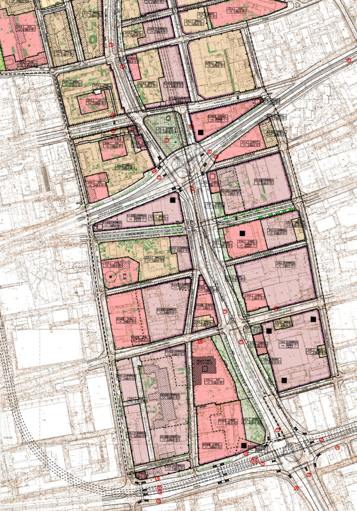
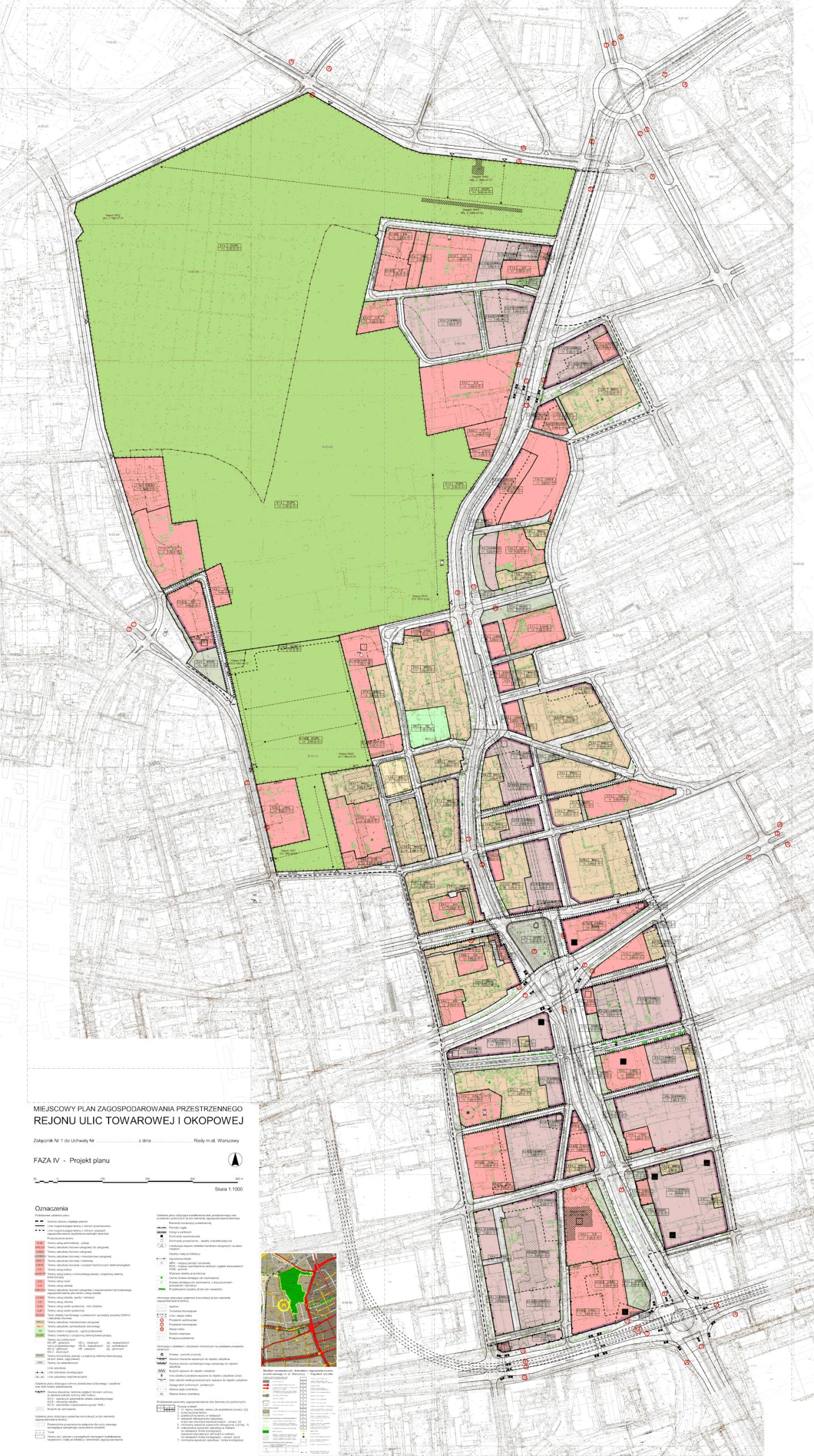
The Local spatial development plan for the Towarowa and Okopowa Streets area was made on the basis of a resolution of the Warsaw City Council from 2004. The plan covered the area ranging from Powązkowska Street to Prosta Street and located along Okopowa and Towarowa Streets. This central region of the Wola District in Warsaw, with an area of over 210 hectares, is located at the junction of the city center with residential and industrial districts and is characterized by a very dynamic development, especially after the beginning of preparations for the construction of the second metro line. In 2009, the plan was divided into two separate documents, one of which – the Local spatial development plan for the Okopowa Street area – was adopted in 2011, and the other – the Local spatial development plan for the Towarowa Street area – in 2014. As a result, a structurally uniform and spatially coherent area, covered by the local plan, was obtained in the central part of the district. The plan indicates the location of the high-altitude architectural landmarks and assumes the reconstruction of the communication system along the Downtown Bypass (Okopowa Street), stipulating that a section of it – about 700 metres – will be hidden in a tunnel. Particular attention was paid to the principles of shaping the metropolitan silhouette of Warsaw, specifying the locations of high-altitude architectural landmarks and the maximum parameters of their implementation. Important arrangements also apply to the protection of objects of historic value, among others by designating heritage conservation zones and shaping public spaces.