PLANS FOR CITY CENTRE AREA
Local spatial development plan for the Olbrachta Street area
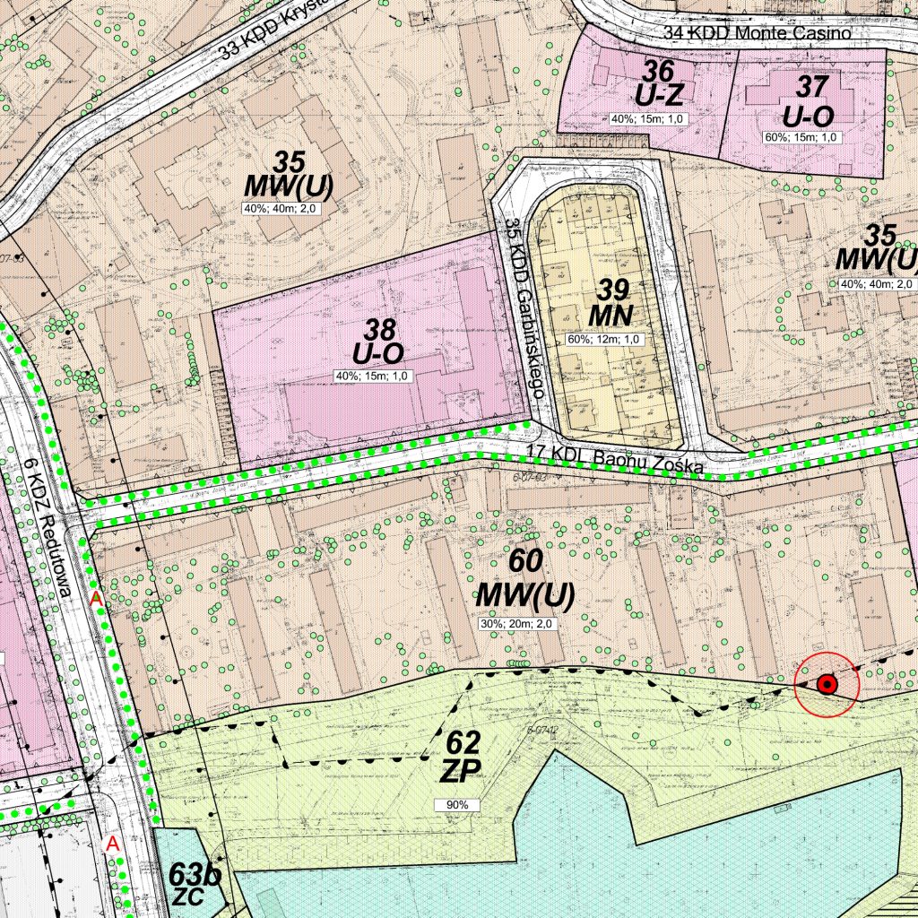
The Local spatial development plan for the Olbrachta Street area covers a part of the Wola District in Warsaw, which is a part of the Ulrychów area at the junction with the Bemowo District. In the eastern part of the plan area, rules for the rehabilitation of the current state were defined. On the other hand, in the western part, the land use and the principles of land development were determined, which became the catalyst for changes of the district’s profile from industrial and warehouse to residential and commercial. For the purposes of new investments, it was necessary to designate the streets layout in the plan. Important arrangements also apply to the protection of buildings with historic values, mainly by designating heritage conservation zones and shaping public spaces, including green areas significant to the city: Powstańców Warszawy [Warsaw Insurgents] Park and General Sowiński Park.

