STUDIES OF CONDITIONS AND DIRECTIONS OF SPATIAL DEVELOPMENT OF MUNICIPALITIES
Study of the conditions and directions of spatial development for the city of Marki
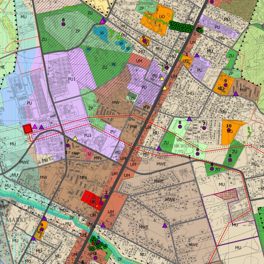
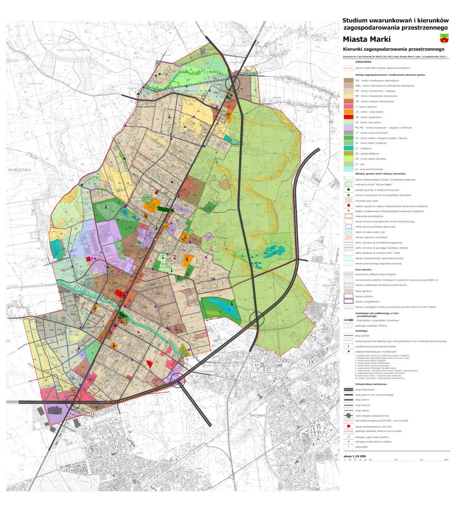
The Study of the conditions and directions of spatial development for Marki covers the area of the borough – 2,620 ha. The study is focused on the dynamic development processes strictly resulting from the vicinity of Warsaw and the necessity of maintaining spatial corridors for the planned linear transport infrastructure facilities of national importance – the Via Baltica expressway and transport hubs integrated with it. The eastern part of the study area is a forest complex within the Warsaw Protected Landscape Area and the remaining part of the borough was designated mainly for residential areas of different types. The city is characterized by a linear system. Along the voivodeship road No. 629 – main road running through Marki – service and residential areas with a concentration of services in the vicinity of the Długa River and close to the Warsaw Protected Landscape Area forests were marked out. In the western part of the borough center, there is a larger concentration of areas with production, service and technical functions. The purpose of the document was to improve the quality of living conditions of the borough’s residents. This meant taking advantage of its values and development conditions, and to counteract the degradation of valuable elements resulting from a strong tie to the spatial arrangement and economic potential of Warsaw, including side effects of spontaneous and chaotic development typical for the cities of the Warsaw Metropolitan Area.

