STUDIES OF CONDITIONS AND DIRECTIONS OF SPATIAL DEVELOPMENT OF MUNICIPALITIES
Study of the conditions and directions of spatial development for Zakroczym Borough
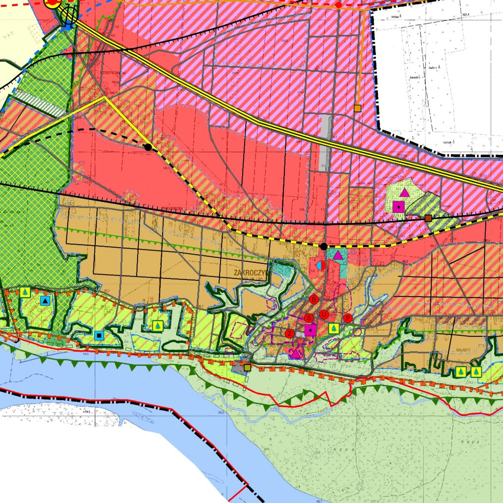
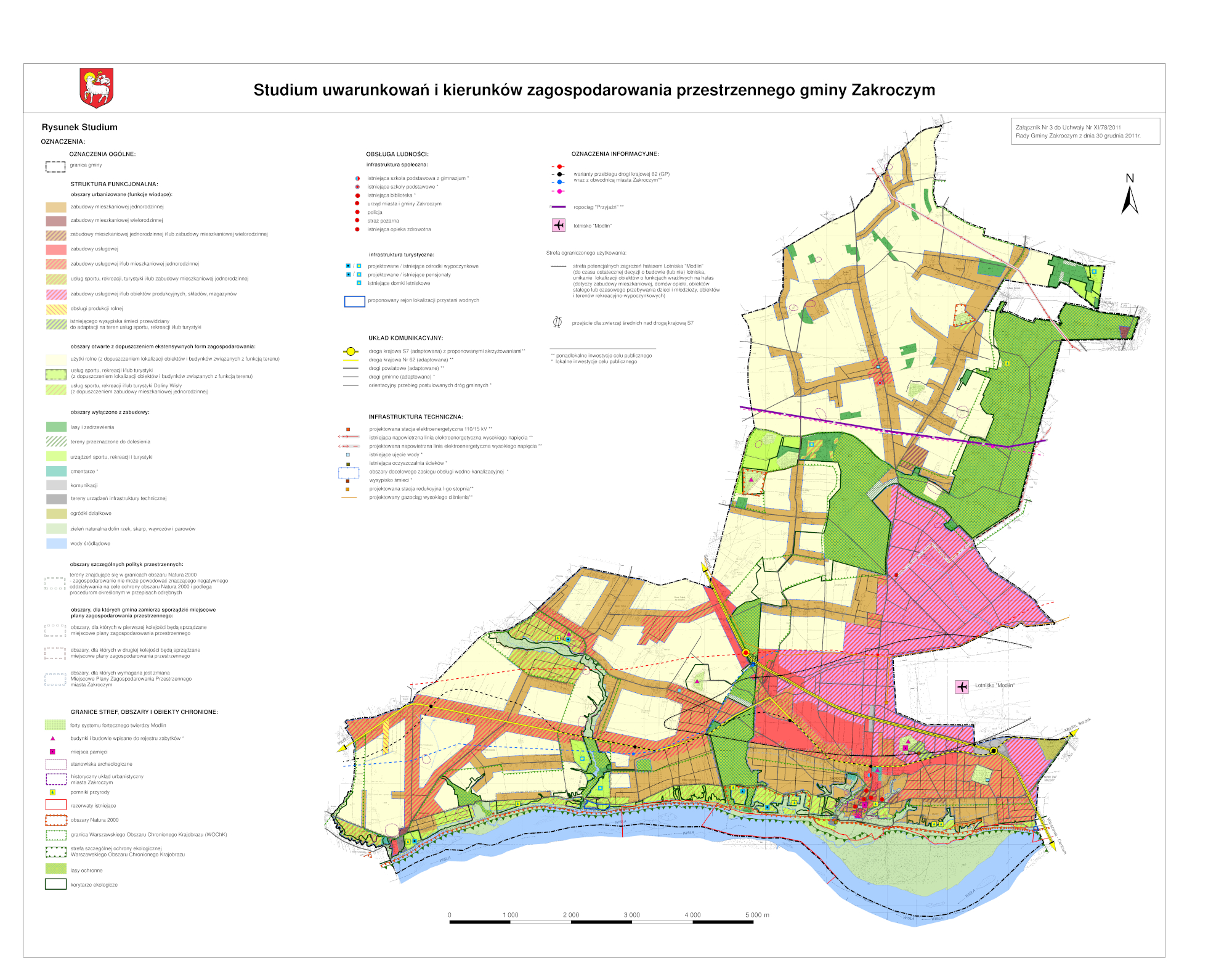
The Study of the conditions and directions of spatial development for the city of Zakroczym covers the whole area of the borough – 7,170 ha. Its basic communication system consists of two national roads – the S7 expressway of trans-European importance, running through the center of the borough from the north-west to the south-east, and national road No. 62. Due to the close proximity to the south-east of Warsaw, Nowy Dwór Mazowiecki [New Masovian Court] and civil airport in Modlin, the study assumes intensive development of the south-eastern part of the borough. The remaining areas are ultimately to be agricultural areas with the possibility of housing and service development with a lower investment intensity, dependent and differentiated on the needs of residents, environmental requirements and the need to maintain the spatial order. The study distinguishes valuable natural areas where a change in the current land use is not recommended or is due to legal protection.