URBAN AREA PLAN
Local spatial development plan for the Pola Karolińskie area
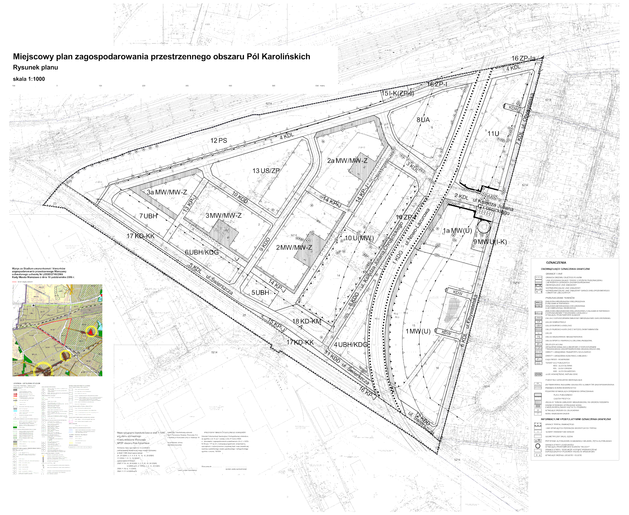
The Local spatial development plan for the Pola Karolińskie area is an excellent example of the revitalization of neglected post-industrial areas. For this demanding location, a spatial compromise between service areas (along the railway line) and residential areas (in the immediate vicinity of the representative part of the Włochy District) was developed. The local plan also indicated a new road connection (4 Czerwca 1989 Alley) which currently plays a very important role on the transport map of Warsaw.